From Warm to Cool: The Impending Shift from El Niño to La Niña and Its Global Implications
The end of the current El Niño event is anticipated to occur by late spring or early summer of 2024. This transition is expected to lead to a brief period of ENSO-neutral conditions before potentially shifting into a La Niña phase by the fall of 2024
What is El Niño and Why Does it Matter?
El Niño is a periodic warming of the central and eastern equatorial Pacific Ocean that occurs every 2 to 7 years on average. It is part of a larger phenomenon known as the El Niño-Southern Oscillation (ENSO), which also includes the cool phase called La Niña.
During an El Niño event, the trade winds that normally blow from east to west weaken or even reverse direction. This allows warm water that has been piled up in the western Pacific to flow back eastward, causing the sea surface temperatures in the central and eastern Pacific to rise significantly above normal.
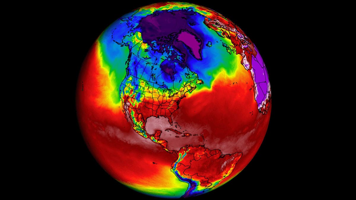
These changes in ocean temperatures and wind patterns can have far-reaching impacts on weather patterns around the globe. El Niño is associated with droughts in some regions, heavy rainfall and flooding in others, and changes in ocean currents and marine ecosystems.
When is the Current El Niño Expected to End?
The current El Niño event, which began in late 2022, is anticipated to end by late spring or early summer of 2024. According to the latest forecasts from the National Oceanic and Atmospheric Administration (NOAA), there is an 85% probability that ENSO-neutral conditions will prevail between April and June 2024.
This transition to ENSO-neutral is a crucial step before the potential onset of La Niña conditions. The Climate Prediction Center at NOAA estimates a 60% chance that La Niña will develop between June and August 2024.
What Factors are Contributing to the End of El Niño?
Several key factors are contributing to the weakening of the current El Niño event:
- Diminishing Warmth in the Equatorial Pacific: Sea surface temperature anomalies across most of the equatorial Pacific Ocean are continuing to decrease, indicating a cooling trend.
- Strengthening Trade Winds: As El Niño conditions wane, the trade winds that normally blow from east to west are strengthening. This helps to push warm surface waters back towards the western Pacific and allows cooler waters to upwell along the equator.
- Negative Feedback Loops: There are complex feedback mechanisms between the ocean and atmosphere that can help to reinforce the transition from El Niño to La Niña. For example, as the trade winds strengthen, they can further enhance the upwelling of cold water, leading to even greater cooling of the sea surface.
- Seasonal Timing: El Niño events tend to peak during the Northern Hemisphere winter months (December-February) and then weaken during the spring. This seasonal cycle is driven by the annual migration of the sun's heating and its effects on the ocean-atmosphere system.
Where Will the Impacts of El Niño's End Be Felt Most?
The end of El Niño and potential onset of La Niña will have the most significant impacts on weather patterns in the tropical Pacific region, including:
- Increased Rainfall and Flooding: La Niña is often associated with above-average rainfall and an increased risk of flooding in the western Pacific, including countries like the Philippines, Indonesia, and Australia.
- Drought and Wildfires: In contrast, La Niña can lead to drier than average conditions and an elevated risk of drought and wildfires in parts of Southeast Asia, including Indonesia.
- Disruptions to Marine Ecosystems: Changes in ocean temperatures and currents during ENSO events can have major impacts on marine life, including fish populations and coral reefs. The transition from El Niño to La Niña may disrupt these ecosystems further.
Beyond the tropical Pacific, the end of El Niño and onset of La Niña can influence weather patterns in other parts of the world:
- Drier Conditions in the Southern U.S.: La Niña is typically associated with drier than average conditions in the southern United States, including Texas, the Gulf Coast, and Florida.
- Wetter Conditions in the Pacific Northwest: In contrast, La Niña often brings above-average rainfall to the Pacific Northwest region of the United States and western Canada.
- Impacts on Atlantic Hurricane Season: The transition from El Niño to La Niña may contribute to more active Atlantic hurricane seasons, as La Niña is associated with reduced wind shear over the Atlantic basin.
How Will the Transition to La Niña Unfold?
The transition from El Niño to La Niña is expected to occur in several stages:
- ENSO-Neutral Phase: The first step is the transition to ENSO-neutral conditions, which is highly likely to occur between April and June 2024 according to NOAA's forecasts. During this phase, ocean temperatures and atmospheric conditions in the tropical Pacific will be near average.
- Onset of La Niña: If current predictions hold true, La Niña conditions will then develop between June and August 2024, with a 60% probability. This means that sea surface temperatures in the central and eastern equatorial Pacific will drop below average, and the trade winds will strengthen further.
- Strengthening of La Niña: Once established, La Niña conditions may persist through the Northern Hemisphere winter of 2024-2025. The Climate Prediction Center at NOAA estimates a 55% chance that La Niña will continue through the December-February period.
It's important to note that the transition from El Niño to La Niña is not always a smooth or predictable process. There can be periods of ENSO-neutral conditions that last for several months before a clear La Niña pattern emerges.
Who is Monitoring the Transition and Providing Forecasts?
Several national and international organizations are closely monitoring the current ENSO conditions and providing forecasts for the transition to La Niña:
- National Oceanic and Atmospheric Administration (NOAA): NOAA's Climate Prediction Center and the International Research Institute for Climate and Society (IRI) jointly issue ENSO forecasts and advisories on a regular basis.
- Australian Bureau of Meteorology: Australia's national weather agency also closely tracks ENSO conditions and provides forecasts for the Pacific region.
- International Research Institutes: Academic institutions like the University of Hawaii's International Pacific Research Center conduct research on ENSO and contribute to global monitoring and forecasting efforts.
These organizations rely on a combination of ocean and atmospheric observations, climate models, and expert analysis to generate their ENSO forecasts. They use a variety of data sources, including satellite measurements, ocean buoys, and weather stations.
How Accurate are ENSO Forecasts?
Forecasting the transition from El Niño to La Niña is a complex challenge, as ENSO events are influenced by a wide range of factors and can be difficult to predict more than a few months in advance.
That said, the accuracy of ENSO forecasts has improved significantly in recent decades, thanks to advances in climate modeling, increased observational data, and better understanding of the underlying mechanisms driving ENSO.
For example, NOAA's Climate Prediction Center has reported skill in predicting ENSO events up to 6-12 months in advance, with accuracy rates of around 70-80%. However, forecasts made during the spring months (March-May) tend to be less reliable, as this period is known as the "spring predictability barrier" for ENSO.
It's also important to note that even if the transition to La Niña occurs as predicted, the strength and duration of the La Niña event itself is still uncertain. Forecasters will need to closely monitor conditions in the coming months to refine their predictions and provide updates on the potential impacts.
Conclusion
The end of the current El Niño event and the potential onset of La Niña conditions in 2024 will be a significant development in the global climate system. While the transition is expected to unfold over the coming months, its ultimate impacts will depend on the strength and duration of the La Niña event itself.
Climate scientists and meteorological agencies will continue to closely monitor the situation and provide updates on the evolving ENSO conditions and their potential effects on weather patterns around the world. As always, it will be crucial for policymakers, disaster management authorities, and the public to stay informed and prepared for the potential impacts of these climate events.